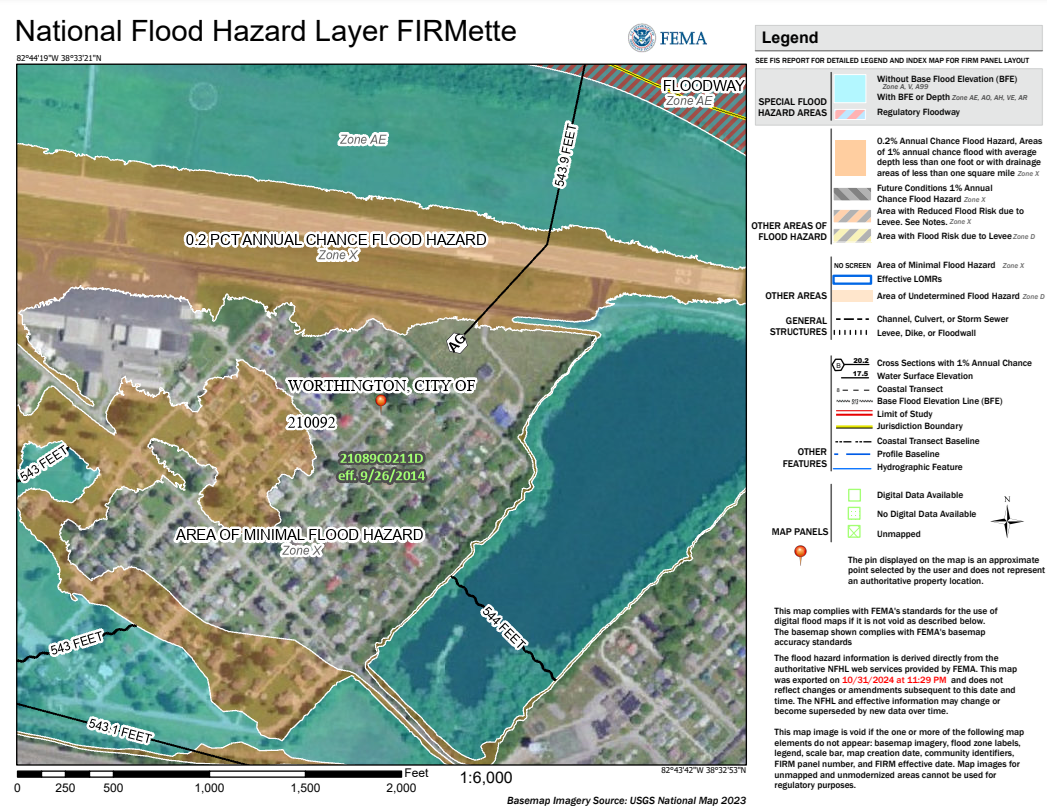
FEMA Flood Insurance Rate Map (FIRMette)
FEMA’s Flood Insurance Rate Maps (FIRMs) show areas of high, moderate, and low flood risk using a system of flood zone designations.
Each flood zone is identified by one or more letters, which indicate the level of flood risk for a specific property:
-
High-Risk Areas (SFHAs): Zones beginning with “A” or “V” are known as Special Flood Hazard Areas. These are areas with the highest risk of flooding and typically require mandatory flood insurance.
-
Moderate- to Low-Risk Areas (NSFHAs): Zones labeled “X”, “B”, or “C” are Non-Special Flood Hazard Areas. These areas carry a lower risk of flooding and may not require flood insurance.
FIRMettes are printable sections of FEMA’s official flood maps and are often used in flood zone determinations and insurance decisions.

